
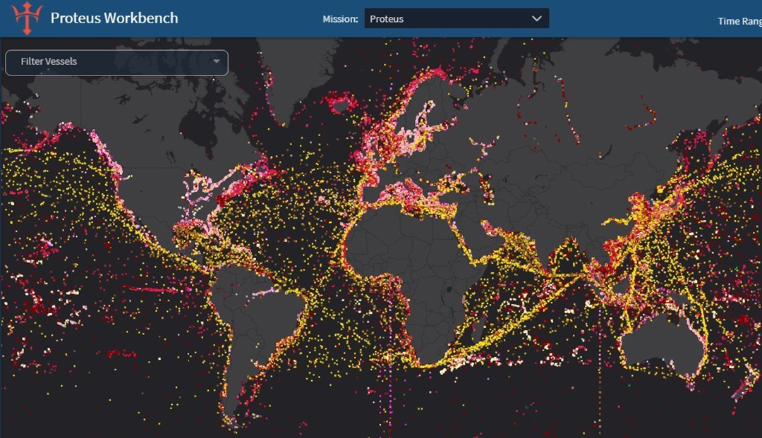
DefenseScoop reports that the National Geospatial-Intelligence Agency (NGA) is using AI to sort data for an application called Enhanced Domain Awareness (EDA) to provide maritime domain awareness information to US and partner countries to help them deal with Illegal, Unregulated, Unreported (IUU) fishing.
“Just to give you a sense of the scale and how much we’re talking about — there’s around 470 U.S. own space-based remote sensing systems that are available today. And that’s going to expand to around 1,400 by 2030, we expect. So globally, there’s about a seven-fold increase in those systems. So the limiting factor isn’t how much of the Earth we can observe or how often — it’s how quickly we can derive insights from that data. And so that’s where, of course, AI and automation comes in. It helps us increase the speed and our capability to react to military and human humanitarian response efforts,” he explained.
This grew out of a SOUTHCOM effort and isn’t limited to IUU.
“When you log into EDA, whether it is on the U.S. side or the partner-nation side, many of the projects that you’ll see in there revolve around different priority lines of effort,” Kurey explained. For Southcom, besides IUU “you’ll find other things like counter-narcotics missions, and things like that. But it’s all encompassing, and you’ll find information and data and projects that I mentioned before will support a tactical environment, operational environment, or strategic messaging,” he said.
The system is being extended to other users.
As the platform continues to mature and blossom, now other combatant commands — including U.S. Northern Command, European Command and Indo-Pacific Command — are beginning to explore how they can integrate it into their own initiatives for data organization and support.
