
BAE Systems technology applies machine learning analytics to automate low-level detection of activities of interest, such as fishing, from available data streams.
Below is a company press release, but it is an interesting one, with relevance to Coast Guard missions. The Obangame Express Exercise is one the Coast Guard has participated in, in the past. More info on the exercise here and here.
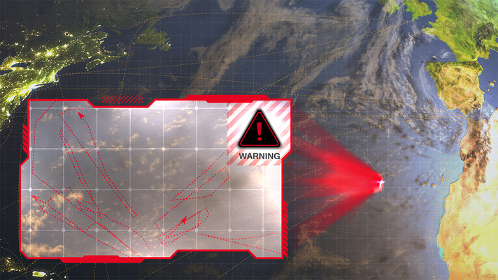
The old “finding a needle in a haystack” analogy doesn’t begin to articulate the challenge associated with illegal fishing detection and identification. While a ship may be larger than a needle, the ocean is certainly larger than your biggest haystack. Add the need to not only find the ship, but determine its recent activities, anticipate future movements, and compare them with all other ships in the area — and do it in near real-time using open source data feeds.
At the Obangame Express event, which is the largest multinational maritime exercise in Western Africa, BAE Systems’ Multi-INT Analytics for Pattern Learning and Exploitation (MAPLE) as a Service, MaaS for short, was integrated with SeaVision, the U.S. Navy’s premier tool for unclassified interagency and coalition maritime data sharing. SeaVision is a maritime situational awareness tool that ingests maritime vessel position data from various government and commercial sources and simultaneously displays them on the same screen in a web browser.
“Military organizations use illegal fishing as a model application due to the unclassified nature of the available data,” said Neil Bomberger, chief scientist at BAE Systems’ FAST LabsTM research and development organization. “Successful detection of illegal fishing activity helps address a serious challenge and highlights another use case for our mature artificial intelligence technology.”
Giving depth to data
While manual analysis of individual vessel tracks is possible, it gets exponentially more challenging and time-consuming for large numbers of vessels. BAE Systems technology applies machine learning analytics to automate low-level detection of activities of interest, such as fishing, from available data streams. This enables analysts to quickly answer time-sensitive questions, prioritize manual data analysis activities, identify higher-level trends, and focus on decision-making instead of manual data analysis.
During the event, BAE Systems’ MaaS technology processed streaming data and automatically detected vessel behavior events that SeaVision displayed as an additional data layer to support user-friendly and timely analysis. The technology provides full visibility into the data to allow the users to check whether the detected behavior warrants further investigation. This helps build trust in the automation and supports additional analysis.
Decades in the making
BAE Systems’ FAST Labs maritime sensemaking capabilities are rooted in artificial intelligence and machine learning algorithms. Backed by nearly two decades of development, their behavior recognition and pattern analysis capabilities continue to show significant utility in real-world environments.
The cloud-based artificial intelligence technology was matured via work on the Geospatial Cloud Analytics (GCA) program. In the months since the successful event, the FAST Labs organization has continued to develop and mature its autonomy portfolio. Elements of its autonomy technology have proven successful in multiple domains including air, land, and sea.
“This successful event delivers on the promise of mature artificial intelligence technology – easy to integrate, incorporating trust, and providing fast and actionable information in a real-world scenario,” continued Bomberger. “The event showcased how our artificial intelligence technology can be deployed in a cloud environment, integrated with a government tool, and used to address relevant maritime activities.”
