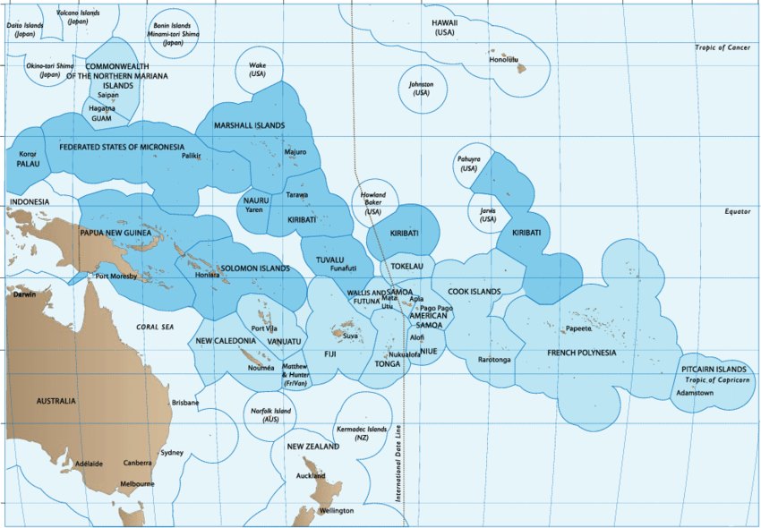
Estimated exclusive economic zones (EEZs) of Pacific Island countries and territories (PICTs). The EEZs of countries that are the Parties to the Nauru Agreement are shown in darker blue. Note that not all EEZs of PICTs have been officially delineated under the United Nations Convention on the Law of the Sea. Source: Patrick Lehodey
Recently there has been indicators that there may be more Coasties deployed to the Western Pacific, including perhaps a desire to replicate PATFORSWA somewhere in the Western Pacific in support of USINDOPACOM. There have also been suggestions that the Coast Guard should be based in Palau and in American Samoa.
South and West of Hawaii, Why a New Base?
The US has a huge EEZ in the areas South and West of Hawaii. This area constitutes more than 29% of the entire US EEZ. By comparison the entire EEZ in Atlantic Area only constitutes a little over 16% of the total US EEZ. Despite the distortion of the map below, this Area is nearly as large as the US EEZ surrounding Alaska, and certainly larger than the parts of the Alaska EEZ we actually patrol with any regularity.
In the past this area has been given essentially only benign neglect, but things have changed. There has been the explosion of Illegal, Unregulated, and Unreported (IUU) fishing, primarily, but not exclusively by China. In addition to fishing in US waters, these activities undermine the economies of the three Pacific Island nations of the Compact of Free Association: the Federated States of Micronesia (FSM), the Republic of the Marshall Islands (RMI), and the Republic of Palau, to whom we have treaty obligations, as well as other Pacific Island nations including the Solomon Islands.
Following on the heels of their fishing fleet, China seems to be seeking strategic basing in this area in the guise of loans and other forms of economic aid made necessary in part, at least, due to the devastation of local fishing. This has given rise to a general suspicion about Chinese intentions in the area.
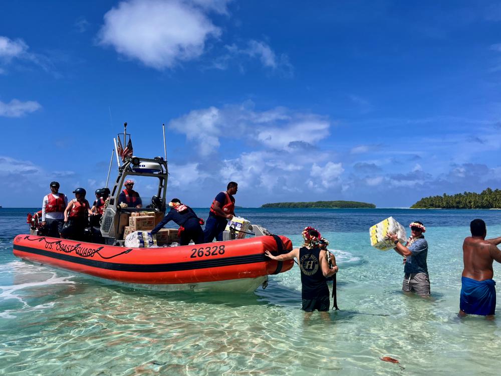
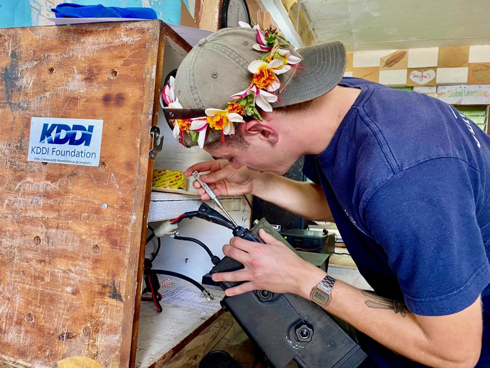
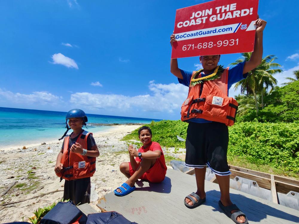
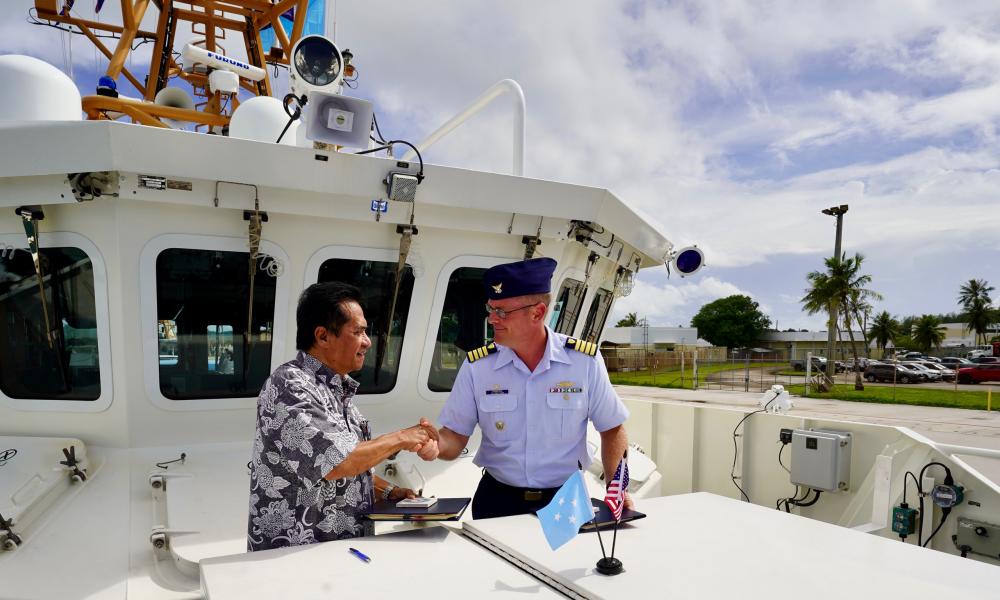
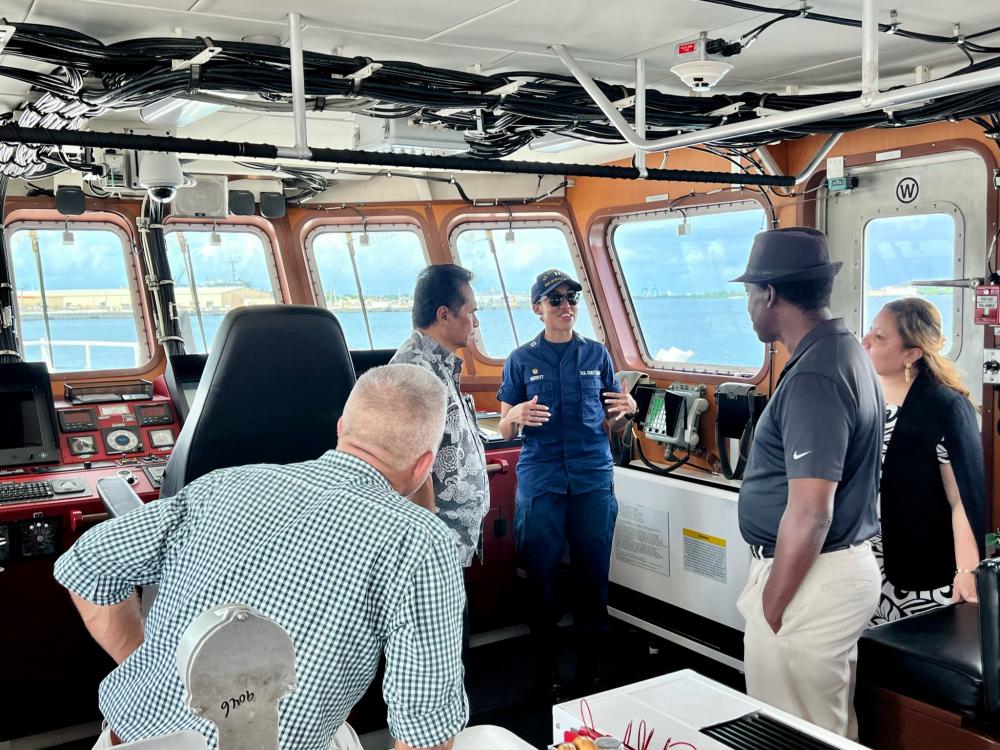
Fortunately, the Coast Guard is generally seen as a welcomed partner in capacity building by many Pacific Island nations
In spite of the “tyranny of distance” in the Pacific, the only patrol assets we have in this area are three, relatively small Webber class patrol craft in Guam. There is not a single Coast Guard aircraft stationed in the area. In Guam a Navy helicopter squadron is used to provide SAR Response. From Guam, the nearest Coast Guard Airstation is 3440 nautical miles (6370 kM) away. It is over 2230 nmi (4129 kM) from Hawaii to American Samoa.
What Kind of Base?
Most of the talk has been about basing ships but there is also a need for supporting air reconnaissance. Air support might not require a full time Coast Guard Air Station, but a forward based rotating detachment might be appropriate. A mobile land based medium altitude long endurance unmanned air system might also serve us well. Even to base surface assets, we would need not only a port, but also a nearby airfield to provide access and support, so we will talk about airports.
The Coast Guard is not going to want to spend a huge amount of money to create facilities where none currently exist, so there is probably no point in looking at locations that do not already have at least basic port or airport facilities.
Since this is an attempt to help the local population, it makes sense to go where there is a local population. Happily, the people are where the sea and airports are.
These considerations limit the choices, eliminating places that might be good geographically, but don’t have even basic infrastructure. We are probably not going to establish a base on an uninhabited island.
DOD is also interested in establishing additional bases to allow greater distribution of their assets, and we might ride their coattails. If the DOD base is on foreign soil, including a Coast Guard presence might be seen by the locals as sweetening the deal.
The Coast Guard would probably prefer to have the base on US territory, but if that were not to be the case, then proximity to currently under-served US territories, including uninhabited islands, would be a plus.
So Where?
As can be seen in the first chart, the area of the EEZs surrounding the various islands in the Pacific are very large. To give an idea of how large they are, I will use the area of the Atlantic Area EEZ (East Coast, Gulf Coast, Puerto Rico, and US Virgin Islands, 1,835,024 sq kilometers) as a benchmark. I will note percentage of Atlantic Area Exclusive Economic Zone (% AA EEZ)
US Territories
According to Wikipedia, the US has the following territory South and West of the Hawaiian Islands, their associated EEZ in square kilometers and EEZ size compared to that of Atlantic Area are in parenthesis:
- Northern Marianas Islands (749,268, 40.8% AA EEZ)
- Johnston Atoll (442,635, 24.1% AA EEZ)
- Howland and Baker Islands (434,921, 23.7% AAEEZ)
- Wake Island (407,241, 22.2% AA EEZ)
- American Samoa (404,391, 22.0% AA EEZ)
- Palmyra Atoll and Kingman Reef (352,300, 19.2% AA EEZ)
- Jarvis Island (316,665, 17.3% AA EEZ)
- Guam (221,504, 12.1% AA EEZ)
The total EEZ of these small islands is more than 81% greater that of the entire Atlantic Area EEZ.
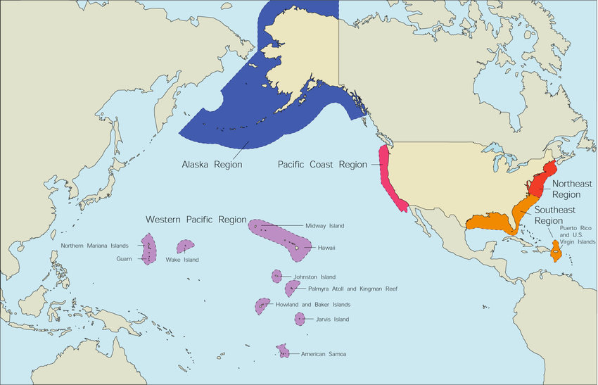
Pacific Remote Islands: Baker Island, Howland Island, Jarvis Island, Johnston Atoll, Kingman Reef, Palmyra Atoll, and Wake Island are all included in the Pacific Remote Islands Marine National Monument, managed by the US Fish and Wildlife service and NOAA. These islands extend 717 to 2,298 nautical miles South and West from Honolulu. None of these islands has a permanent resident population.
Johnston Atoll does have an airport and pier space. Palmyra has only an unpaved airstrip left over from WWII. Wake Island is administered by the USAF and has a 9,800-foot (3,000 m) runway used for refueling and emergency landings, “The island’s only harbor between Wilkes and Wake is too narrow and shallow for sea-going vessels to enter.”
None of the “Pacific Remote Islands” sound promising. That leaves only
- American Samoa (404,391)
- Guam (221,504)
- Northern Marianas Islands (749,268)
Guam: Guam is 6,126 kilometers or 3,308 nautical miles West of Honolulu. We already have a Coast Guard presence in Guam. It is homeport to a buoy tender and three Webber class WPCs. There is, however, no Coast Guard air station closer than Honolulu. A Navy Helicopter squadron provides SAR response.
American Samoa: “American Samoa consists of five main islands and two coral atolls. The largest and most populous island is Tutuila.” It has 95% of the population of American Samoa, 56,000 inhabitants, and includes a large natural harbor and airport as part of the capital, Pago Pago. Pago Pago is 4,179 kilometers or 2,256 nautical miles South of Honolulu.
Commonwealth of the Northern Mariana Islands (CNMI): “The CNMI includes the 14 northernmost islands in the Mariana Archipelago; the southernmost island, Guam, is a separate U.S. territory.” Of the approximately 53,883 people living there (2010 census), about 47,565 (2017 estimate) live in Saipan. Recently it was announced that an expeditionary sea base, USS Miguel Keith (ESB 5), would be homeported in Saipan. This may offer an interesting option for collaboration in capacity building. Saipan is only 217 kilometers or 117 nautical miles from Guam, so what might have been potential base seems less likely; however, it does offer an alternative for replenishment while operating in the Northern Marianas.

Pacific Remote Islands Marine National Monument. The previous (2011) boundaries of the Pacific Remote Islands Marine National Monument are outlined in light blue.
Members of the Compacts of Free Association
Foreign Policy recently published a proposal for “After the Debacle: Six Concrete Steps to Restore U.S. Credibility.” The article claimed there was bipartisan support for each step. Perhaps surprisingly three of the proposed steps involved the Coast Guard. They included:
- Open embassies in the Pacific island nations of Kiribati, Nauru, Tonga, and Tuvalu and provide each with a Navy or Coast Guard attaché.
- A permanent Coast Guard presence at Pago Pago in American Samoa.
- Basing an icebreaker in Sydney or Hobart, Australia.
That does not constitute US policy but clearly there is pressure to put more Coast Guard West of Hawaii both to protect the huge US EEZ in the Western Pacific and to do capacity building and work with Pacific island nations, particularly those who are Compact of Free Association members (the Federated States of Micronesia (FSM), the Republic of the Marshall Islands (RMI), and the Republic of Palau).
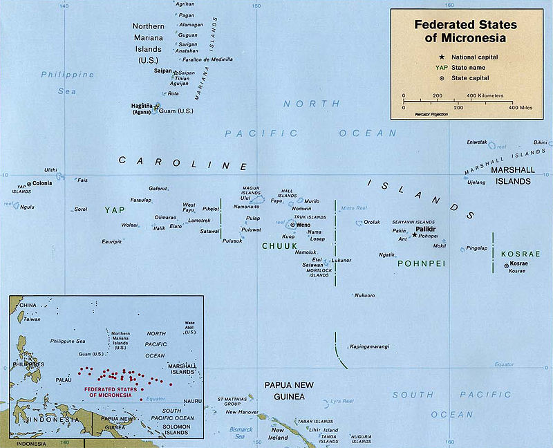
U.S. Central Intelligence Agency – Federated States of Micronesia (Political) 1999 from Perry-Castañeda Library Map Collection: Federated States of Micronesia Maps
Federated States of Micronesia (FSM, 163.3% AA EEZ)
The Federated States of Micronesia (FSM) consist of “around 607 islands (a combined land area of approximately 702 km2 or 271 sq mi) that cover a longitudinal distance of almost 2,700 km (1,678 mi) just north of the equator.”
The island of Pohnpei is the most developed in the FSM and has a population of 36,832 (2020) out of a total population of 104,468 (2019 estimate). It includes the capital Palikir. It is 1635 kilometers / 883 nautical miles SE of Guam. The most Easterly FSM State, Kosrae, lies 2186 kilometers / 1180 nautical miles from Guam.
The possibility of a Coast Guard base in the Federated States of Micronesia has gotten a bit more likely. According to MSN and the Pacific Island Times,
“The United States and the Federated States of Micronesia have agreed on a plan to build a military base in the Pacific Island nation, in line with the Pentagon’s strategic ambition to increase its footprint in the Indo-Pacific region and keep China at bay.”
In all probability the “base” will be a port and an airfield, both dual-purpose, used for both commercial and military purposes. I would not expect DOD ships or aircraft to be based there permanently. There probably will be a small cadre of support personnel.
Republic of the Marshall Islands (RMI, 108.5% AA EEZ)
The 2020 population was projected to be 59,190. Total land area is only 70.05 square miles. The capital is on the atoll of Majuro, population 27,797 (2011). Majuro’s airport is 2984 kilometers / 1611 nautical miles ESE of Guam’s, and 1443 kilometers / 779 nautical miles East of Pohnpei in the Federated States of Micronesia.
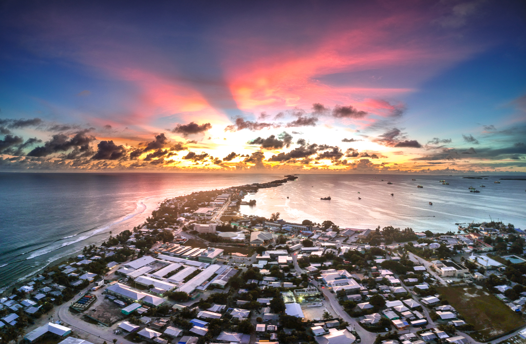
Sunset in Majuro, over Delap-Uliga-Darrit in the Marshall Islands from a drone. Jamison Logan photo.
At one point during WWII Majuro was the busiest port in the world. “Majuro Lagoon is…one of the busiest tuna transshipment ports in the world, with 306,796 tons of tuna being moved from purse seine vessels to carrier vessels in 2018.”
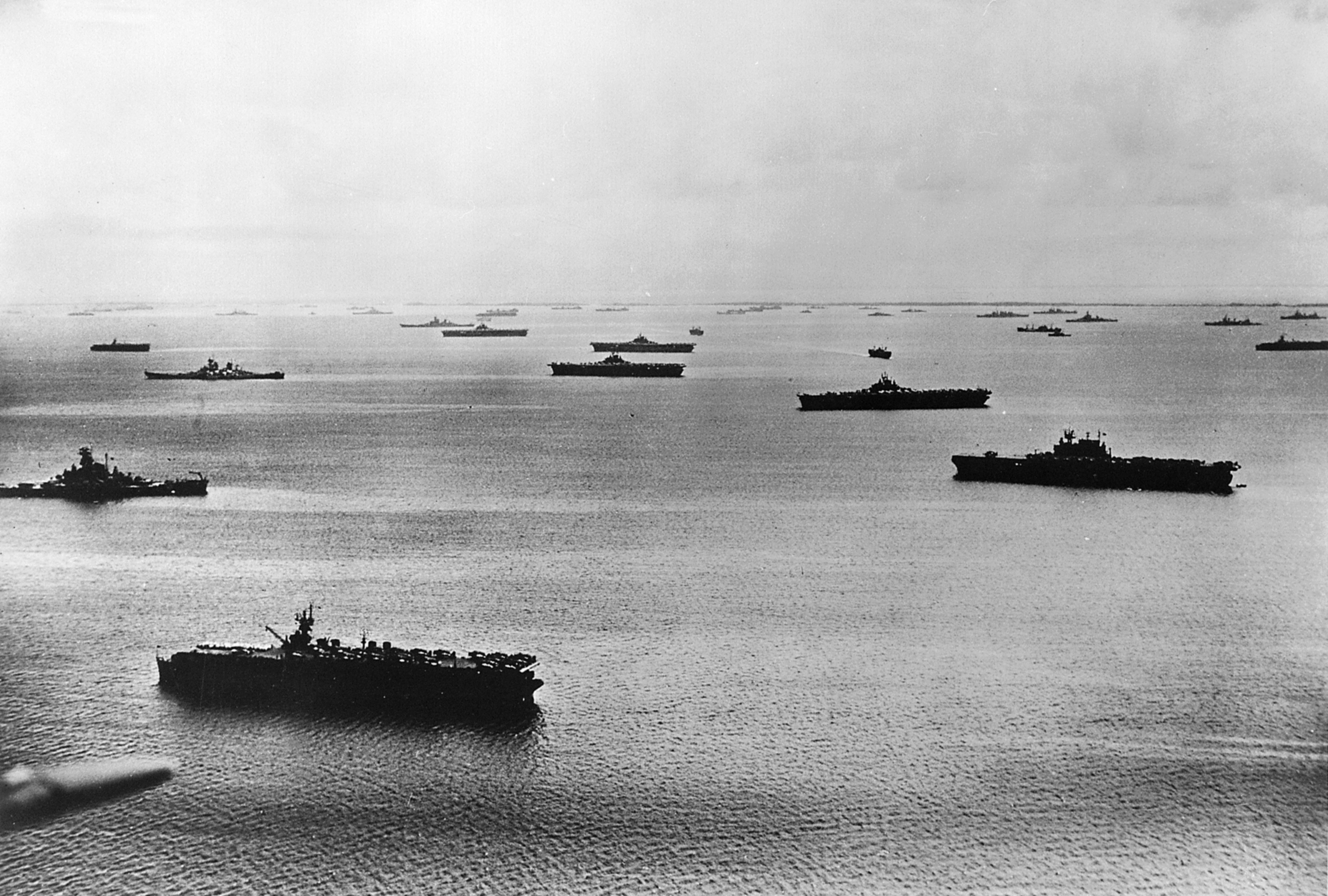
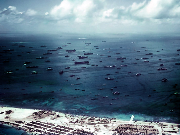
The U.S. fleet at Majuro Atoll in 1944. Visible (among many other ships) are three Independence-class light carriers, four Essex-class carriers, USS Enterprise (CV-6, right front), a South Dakota-class battleship, and two Iowa-class battleships. U.S. Navy photo 80-G-225251
Palau (32.9% AA EEZ)
Koror City is the largest city and its commercial center in Palau, home to about half of the country’s population, about 14,000 in the metropolitan area. It is served by an airport about four miles away. Koror, Palau is 704 nautical miles (1,304 kM) from Guam
Non-US, Non-Compact of Free Association Island Nations.
There are eleven other small Island nations in the area.
- Kiribati (187.6% AA EEZ)
- Papua New Guinea (130.9% AA EEZ)
- Cook Islands (106.8% AA EEZ)
- Solomon Islands ((86.6% AA EEZ)
- Fiji (69.9% AA EEZ)
- Tuvalu (40.9 % AA EEZ)
- Vanuatu (36.1% AA EEZ)
- Tonga (35.9% AA EEZ)
- Niue (17.3% AA EEZ)
- Nauru (16.8% AA EEZ)
- Samoa (7.0% AA EEZ)
These eleven have a combined EEZ more than 7.3 times that of the Atlantic Area EEZ.

What I Think We Will Do
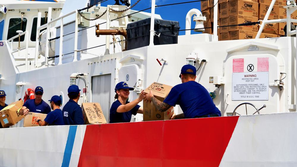
Putting two or three Webber class at Pago Pago appears likely. It would require we add to the currently planned and funded fleet of 64 Webber class FRCs.
If the Navy does establish a base in the Federated States of Micronesia (FSM), then the Coast Guard might well provide a small support and advisory detachment to assist the local maritime authorities. Pohnpei, Federated States of Micronesia looks like it might be a good central location to operate Fixed Wing aircraft from. They have a 6,000 foot (1829 meter) runway.
What We Should Do
If we have bases in Honolulu, Guam and American Samoa, they form the corners of a triangle that encloses most of the area of interest, but those bases are near the extremes. American Samoa is well South and East but it is at least surrounded by island nations. Guam is near the Western edge. Honolulu is in the Northeast corner.
Another possible complementary, more central location is Manus Island, Papua New Guinea. Manus is 1,737.88 km (938 nautical miles) SSE of Guam. The population is reported to be 50,351 (2011). The US and Australia both see Manus as strategically significant.
Current discussion seems to concentrate on where we might put additional cutters. This has gained a sense of urgency because we are at a decision point with regard to the Webber class FRC program and these little ships are seen as the likely assets to provide a Coast Guard presence in this underserved area. Will we let the program die at the currently planned 64 vessels or will we exercise all or part of an existing option for 12 more cutters that will expire in May 2023?
This is prompted in part by the House Armed Services Committee’s report (H.Rept. 117-118 of September 10, 2021) on H.R. 4350 which states in part:
Given the successes of the U.S. Coast Guard’s Sentinel-class Fast Response Cutter in support of the Navy’s Fifth Fleet as a part of Patrol Forces Southwest Asia, the committee believes there are similar roles for Sentinel-class Fast Response Cutters in other areas of responsibility. Therefore, the committee directs the Secretary of the Navy to submit a report to the congressional defense committees not later than February 1, 2022, that details the current mission sets and operating requirements for the Sentinel-class Fast Response Cutter and expands on how successes in the U.S. Central Command area of responsibility would translate to other regions, including the U.S. Indo-Pacific Command. Further, the committee directs the Secretary of the Navy to assess the requisite upgrades to the Sentinel class Fast Response Cutter required to meet Navy standards and evaluate the concept of operations for employing these vessels in Southeast Asia. This report should be unclassified but may include a classified annex. (Page 21)
In addition to placing two or better yet three FRCs in American Samoa, it might be wise to also increase the number of FRC in Guam to emulate the success of PATFORSWA. This would allow two boats to be away from base almost continuously. This could allow significantly better coverage particularly in Palau and the Northern Marianas.
Ideally these island nations should have their own enforcement mechanisms, capable of patrolling their own waters, but comprehensive coverage is probably beyond their means. It seems they all have some basic capabilities. We should complement rather than replace existing capability. Local forces should be the point of the spear. To this end we can provide training and donate assets including perhaps excess 87 foot Marine Protector class patrol boats.
Given the huge area, surface units are not enough. Satellites can help. but air surveillance is also required. The increased range of the “J” model C-130s will certainly help, but to provide any degree of persistence we will probably at least need to rotate crews and aircraft out of an advanced base.
Our efforts should be coordinated with the already significant efforts of our allies Australia, New Zealand, and France, are doing in the area.
The distances are great. The areas of concern are huge. The Coast Guard, our allies, and the Island nations themselves don’t have enough assets to patrol these waters effectively. In addition to patrol vessels and aircraft we need better Maritime Domain Awareness including use of satellites and artificial intelligence to cue the limited enforcement assets.
A cooperative multi-national law enforcement intelligence exchange might be the most important addition we could make.